Image: AKIS PORTUGAL National Agricultural Development and Innovation System which brings together all the actors of the agricultural and floral sectors
Image: E-Planner A tool developed by UKCEH to help farmers identify the most suitable places for different environmental management actions via interactive maps.
Image: MySustainableForest MySustainableForest aims at developing a pre-commercial service platform for forest stakeholders, compliant with open and standard interfaces, whic...
Image: RUBIZMO The RUBIZMO project will identify innovative business models with significant potential to support modernisation and sustainable growth in rural econo
Image: UNBiodiversity Lab An open-source environment that provides decision makers with the best available spatial data to put nature at the center of sustainable development.
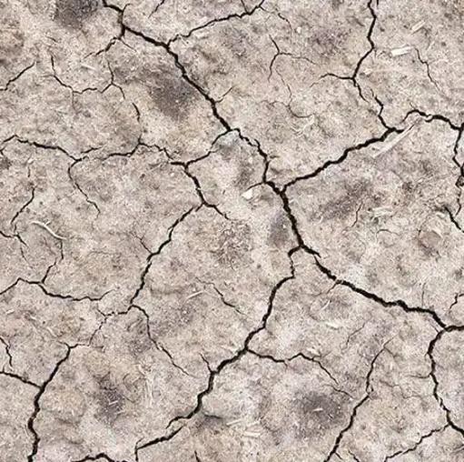
Image: OPERANDUM Severe hydro-meteorological phenomena are having a high impact in European territories and are of global concern.
Image: Land-use Finance Tool This tool enables a quantitative and qualitative analysis of the alignment of public and private spending with climate and forest objectives.
Image: IMPACT tool of the Flemish Climate portal This tool allow people to map what the local impact will be of climate change.
Image: Watch-it-Grow WatchITgrow is a platform to support growers to monitor arable crops and vegetables in view of sustainably increasing yields.
Image: LANDSUPPORT The LANDSUPPORT project aims at developing a web-based completely free, open-access GeoSpatial Decision Support System (S-DSS).
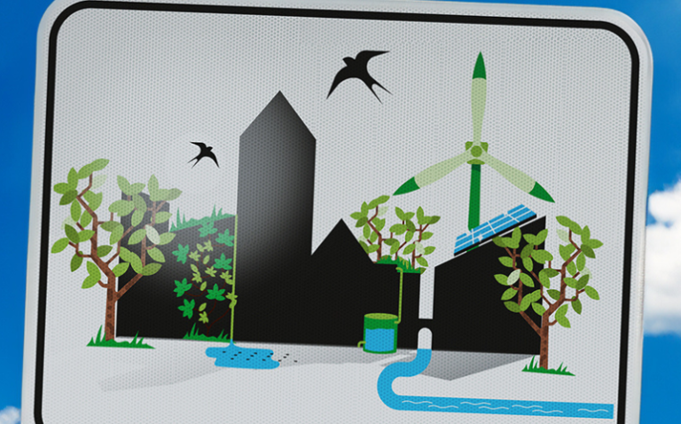
Image: NATURVATION Focuses on promoting nature-based solutions (NBS) in urban environments to address social, environmental and economic challenges.
Image: URBAN GreenUP Urban GreenUp is the development of Renaturing Urban Plans in a number of European and Non-European partner cities.