Image: ERA-PLANET European Union-funded research program that aims to coordinate and integrate environmental observation infrastructure in Europe.
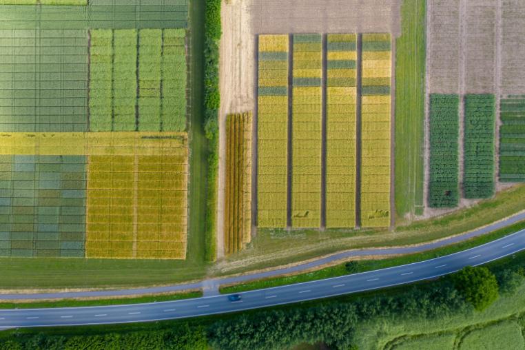
Image: LandSFACTS Interactive voting in a virtual landscape theatre suggested preferences for visual diversity, good stewardship and perceived naturalness.
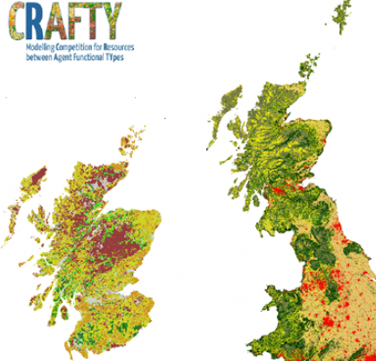
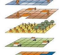
Image: CRAFTY Agent-based modelling framework for application primarily at large spatial scales (national-continental), in the land system.
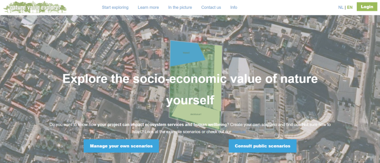
Image: Nature Value Explorer Webbased tool which estimates the impact of land use change on the delivery of ecosystem services. Rural and urban version.
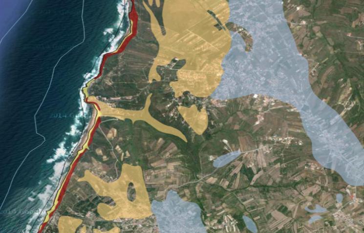
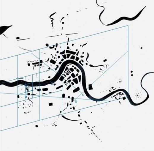
Image: EPIC WebGIS EPIC WebGIS is an interactive spatial data infrastructure, which provides georeferenced cartography from national to municipal scale, using data visua
Image: RECARE The RECARE project is a European initiative focused on the prevention and remediation of soil degradation in Europe
Image: RuimteModel Vlaanderen / Geodynamix Land use model to simulate possible future land use at a medium to high resolution.
Image: ZONATION A software tool for ecologically based land use planning including applications in spatial conservation planning and ecological impact avoidance.
Image: MicroLEIS DSS MicroLEIS DSS is a set of useful tools for decision-making which in a wide range of agro-ecological schemes.
Image: Global Forest Watch Global Forest Watch is an open-source web application to monitor global forests in near real-time.